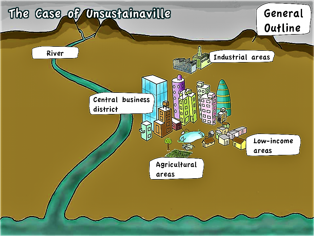
Use a large piece of paper (or any other material to write on), and draw the following information. Use different colours, and make sure you have plenty of space to accommodate all the information of the next steps.
- What is the basic outline of the local area you want to focus on?
- What are the most important geographical features (mountains, rivers, lakes, important roads, towns, buildings, etc.)?
- Maybe, if you are focussing on a town, or a village, you can also distinguish between different areas, such as low and high-income areas, or industrial, agricultural or residential areas. It may then be helpful to go through the following questions for each of these areas individually, as the answers will most likely differ substantially.
- In order to learn how to assess the boundaries of your system, see system boundaries.
Where to get further information: For a first step, it may be helpful to draw this map (simply by hand) - but use a piece of paper that is large enough to it can accommodate further notes. You should be able to get further information or plans and maps from the local authorities (spatial planning offices).
SSWM Tools that may help you here:
Unsustainaville's General Outline

Unsustainaville is located in a plain, next to a river and some miles upstream from the sea. It has an industrial area to the North of the city, a central business district and some high income areas. To the East, there are also some low income areas that are not well developed. To the South, almost within the city, are some agricultural areas.
After you have drawn the outline, you continue by analysing each section of the water and nutrient cycle in your locality, as shown in the next steps of this tutorial.
Go back to previous step -----> "Understand your System" Introduction
Go to next step -----> What are Your Sources of Water?

